Right of Way Parcels
Note: This section is about the field within the parcel data schema that is used to flag Right-of-Way (ROW) Parcels and is different than the Roadway Right-of-Way product which is a polygon product that contains boundaries for nearly all Roadway Right-of-Ways. If you are looking for more information that product you can find that by following this link.
Right–of-way (ROW) parcels track land that is typically used for movement, transportation, or utilities and are present in the parcel data provided by the local authorities.
The ll_row_parcel field within the parcel schema, is a binary field, to help identify ROW parcels by a variety of methods and is available in our premium schema dataset.
Rights-of-way are helpful to have identified for multiple reasons:
- ROWs typically do not have an address or buildings associated with them. Excluding them from analyses where this is important can improve quality.
- For some use cases, like utilities, knowing ROWs is important, so we do not typically remove them from our dataset.
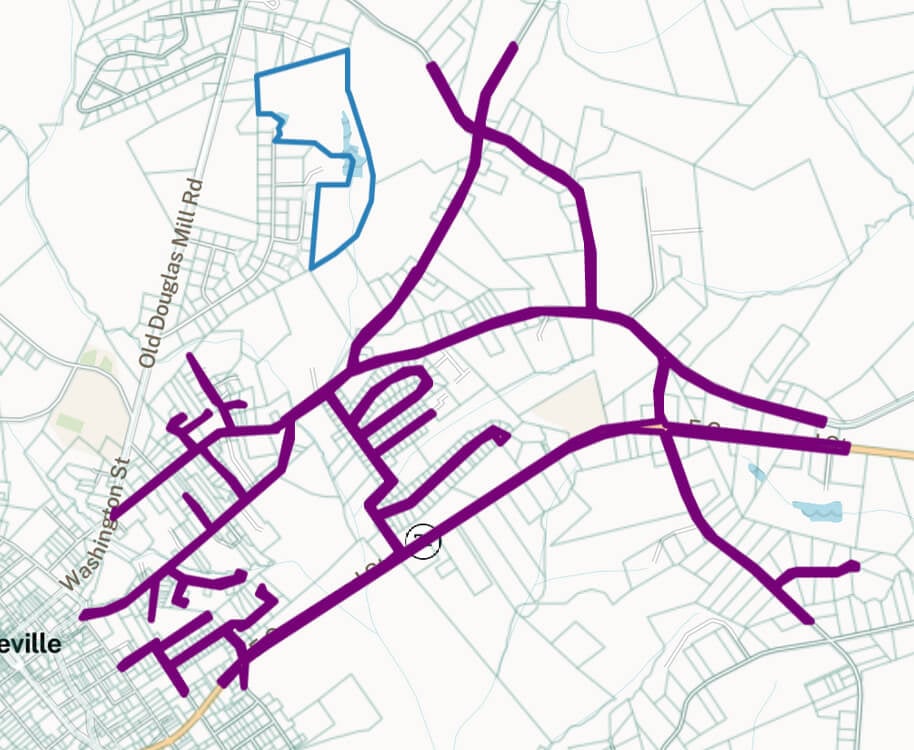
- Large, twisty "spiderweb" ROWs with many vertices can cause problems with geoprocessing. These typically represent a large network of roads. In cases where we identify processing problems, we remove them from our dataset
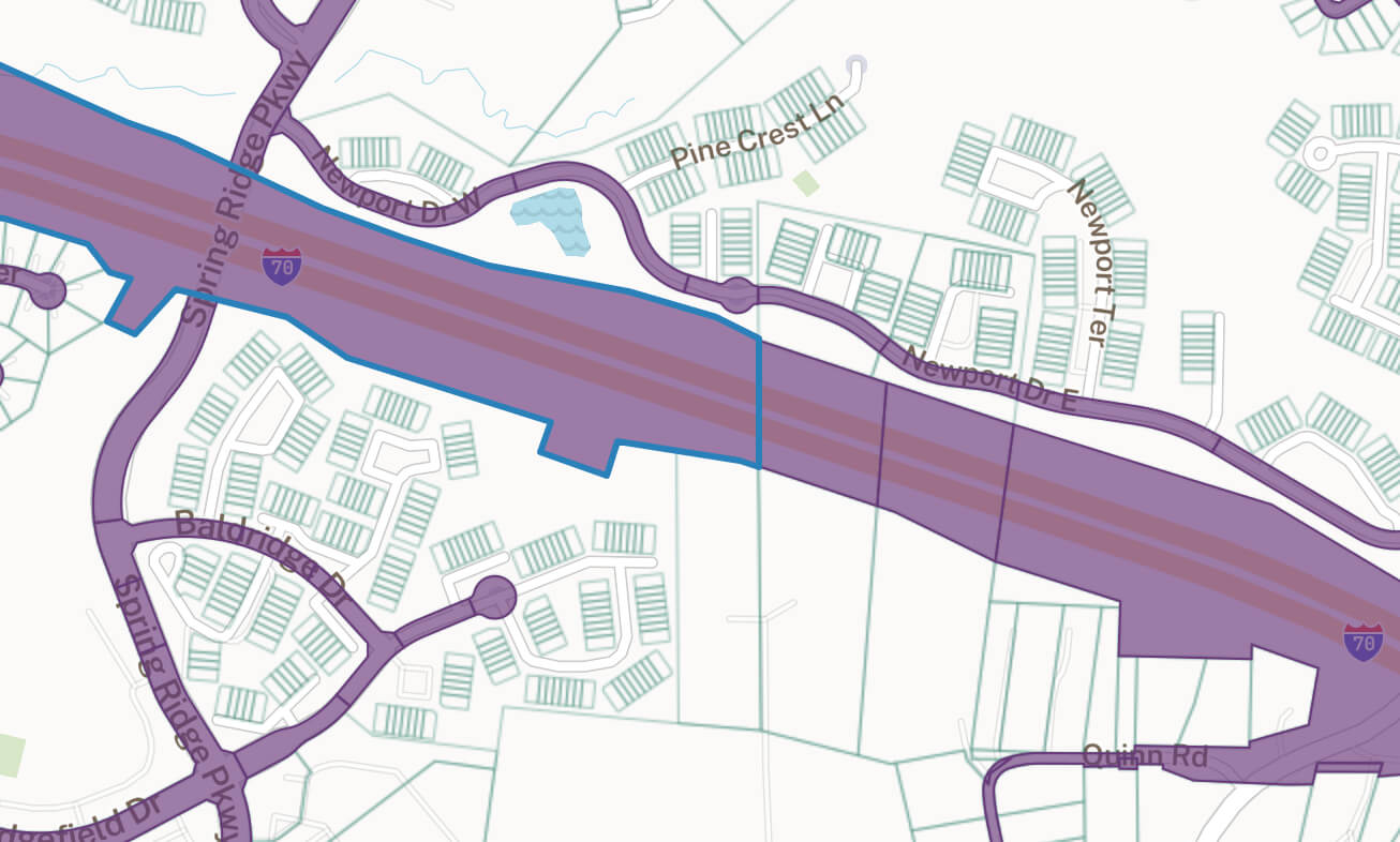
Example ROW parcels
Example ROWs following a highway in Frederick, MD:
Spiderweb ROW in Abbeville, SC:
ll_row_parcel attribute values
We combine a number of heuristics to determine if a parcel is a ROW. The criteria used for the determination is stored in the ll_row_parcel field. Each of these criteria is also combined with logic to identify public and homeowner's association-type owners to minimize false positives:
| Value | Definition |
|---|---|
| parcel_number | parcelnumb contains "row", "road", or other relevant identifiers |
| land_use | usedesc contains "row", "road", etc. |
| perimeter_ratio | The ratio of the parcel's perimeter to its area suggest this parcel is part of a street network or other "spiderweb" |
| hull_ratio | The ratio of the parcel's area to the area of a convex hull drawn around the parcel suggest this parcel is part of a street network |